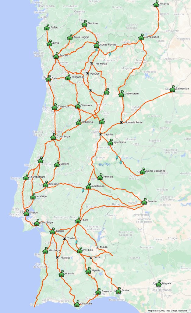
When we started this project in 2004, the idea was to compile the available knowledge about Roman roads in Portugal and make it accessible to everyone. Now, the best way to do that would be to publish online travel routes covering these routes, following the initial spirit of the so-called “Itinerary of Antoninus”, an essential document for the identification of Roman routes, even because at the time there was practically nothing online on the subject.
It quickly became clear that the study of the Roman road network remained buried in a mire of conjecture and great doubts not only about the route followed by the road as well as the location of the stations mentioned in the Itinerary, which actually take us to a pre-Roman reality, a fact evidenced by the large number of indigenous toponyms listed in the document as road stations (the vast majority), and in all cases we can associate then with Iron Age settlements, commonly called “castros”.
Most likely the document has its origins in the military conquest and subsequent civil wars, ending up fixing the main routes that interconnected the strategic centres, but essentially using the same routes of the Iron Age. The aim was naturally to keep control over the traffic circulating along those axes, but above all, a way to control the access to the enormous metalliferous wealth that characterises the Iberian Peninsula, whose economic value would have been the main factor behind the Roman conquest.
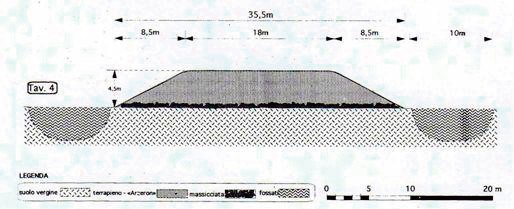
The following development is thus in part the continuity of that pre-Roman reality, reflecting the settlement model adopted during the Iron Age, characterised by the installation of settlements near the road axes, forcing the fortification of these settlements with thick walls, as opposed to the previous period, the Bronze Age, where preference was given to settlements on mountain peaks, far from the road and protected from potential enemies, thus dispensing with the construction of a walled enclosure. It is obviously a general framework with several exceptions.
Consequently, the so-called “Roman road” is invariably based on ancient routes of the Iron Age, but receiving many upgrades that provided a better transitability that never existed before. Thus, it would be more correct to speak of “ancient roads” than “Roman roads” since it was not exactly the Romans who designed and built the road. On the other hand, the Roman geo-strategic vision was one of maximum economic exploitation and what mattered was to ensure that the Imperial power had control of the main mining exploitations.
This is also reflected in the epigraphy related to the exploitations of Las Medulas (Ponferrada, León) and Tresminas (Vila Pouca de Aguiar), attesting in both cases a direct administrtion by the Imperial power. In fact, the strong investment carried out in the roads that departed from Braga throughout the Imperial period is the reflex of this need to control this vast mining region that extends until Asturica (today Astorga), fact that is reflected in the great number of milestones of different emperors registered in these roads that connected the heads of the convents Lucencis (Lugo), Bracarensis (Braga) and Asturicensis (Astorga).
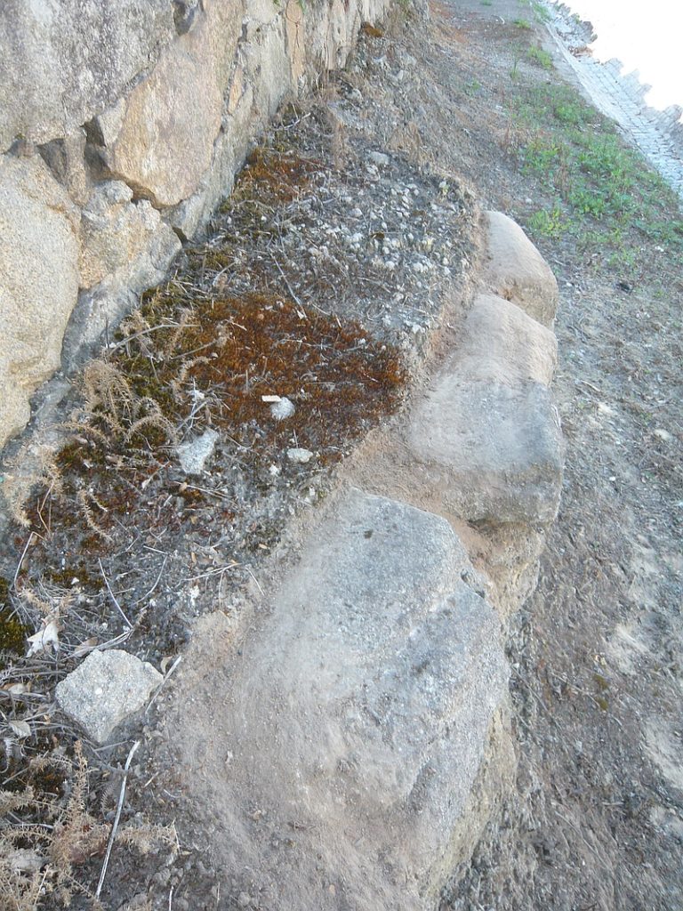
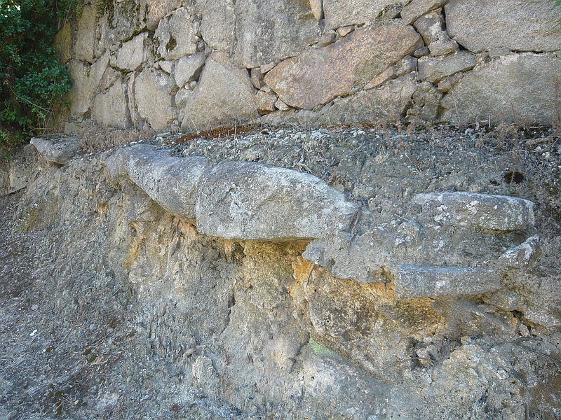
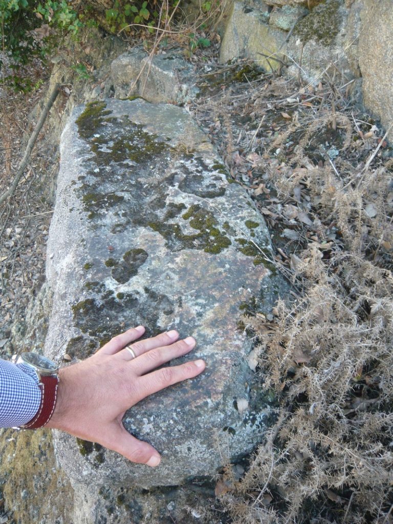
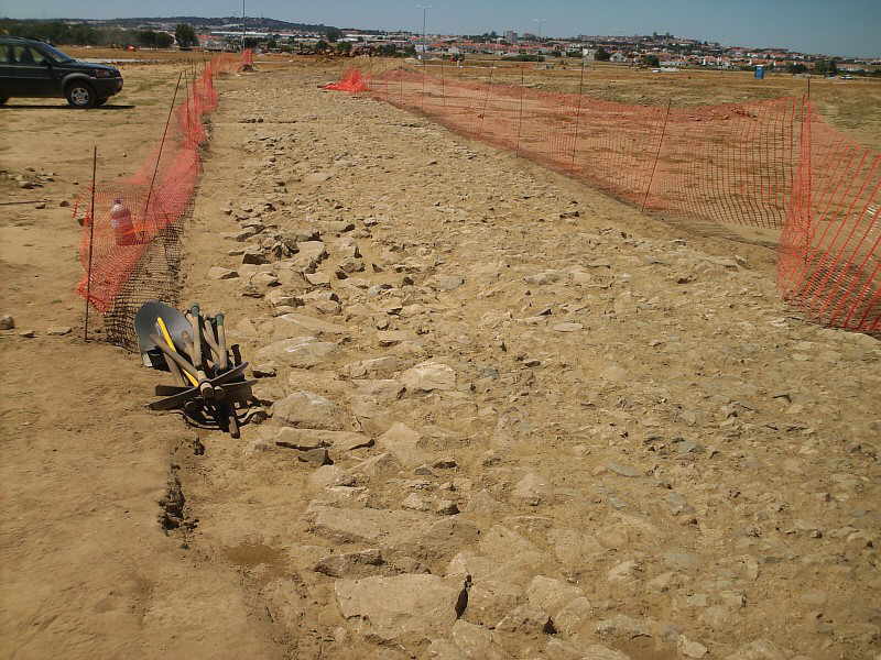
Apart from these roads, which are exceptional even in the Roman context, all the others have only a few milestones, much more spaced, marking important points of the route, namely road stations. The existence of remains of structures attributable to the Roman period in these locations indicate the presence of a road establishment to support travelers. This more spaced marking compared to the northwestern peninsular routes is reflected in the smaller number of known milestones south of the Douro. For example, in the Algarve, one of the most “Romanised” regions of the country, only one milestone is known, and even this one has singular characteristics that set it apart from the others found in Portugal.
The other relevant aspect in the interpretation of the itineraries is that it is not a compilation of routes as it has been claimed (in fact, the designation “Vias” was applied in one of the medieval copies, as well as the numbering), but instead these are itineraries, interconnecting the maximum number of relevant points, providing the travellers with a summary of the main routes and the respective intermediate distances. Thus when it is said that there were three ways to Merida, one through Évora, another one through Alter do Chão and another one closer to the Tagus (the so called Via XII, XIV and XV, respectively), we don’t really have three ways to Merida, but three different itineraries, which use independent stretches of roads, forming a great route.
In fact, everything indicates that the main route would be the variant through Alter do Chão, both because it is the shortest route and because it has received several improvements, including the construction of major engineering works such as the Roman bridge of Vila Formosa. Thus, everything indicates that this would be the great route that linked Mérida to the Tejo River, forming a route with caput viae in Santarém and Mérida.
The choice of Mérida for capital of the Lusitânia is surely related with the crossing here of the Guadiana, being therefore this way that allowed the shortest connection of Mérida to the sea, linking this crossing of the Guadiana to the mouth of the Tejo River.
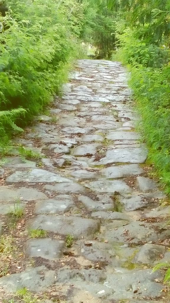
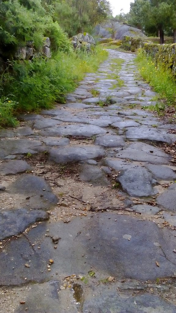
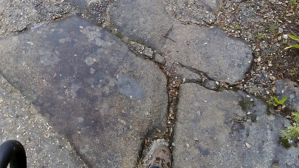
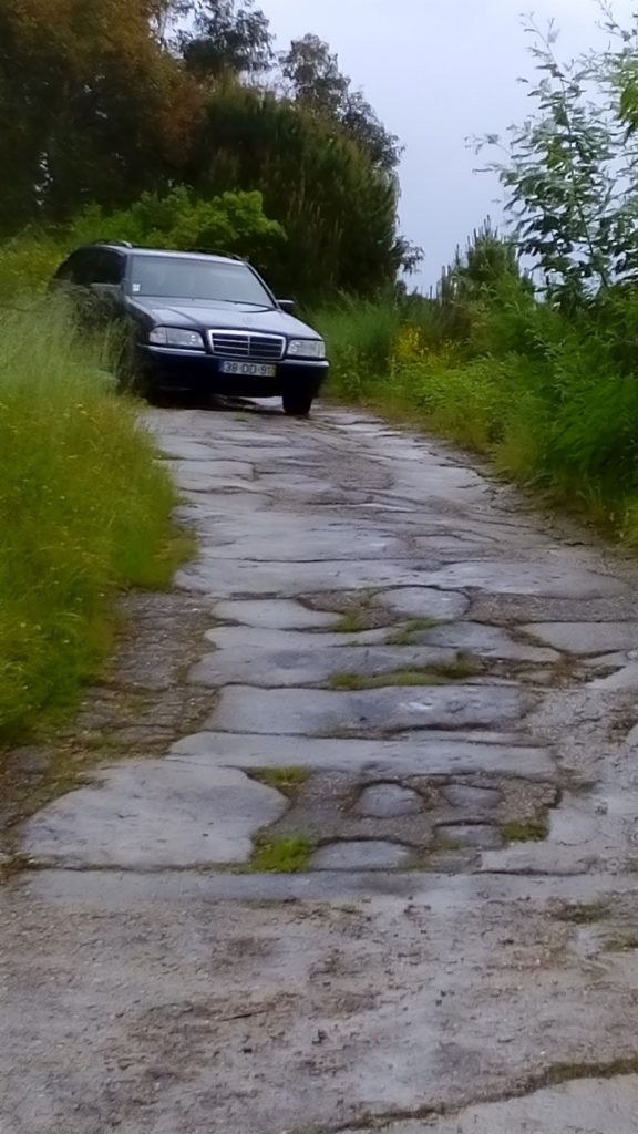
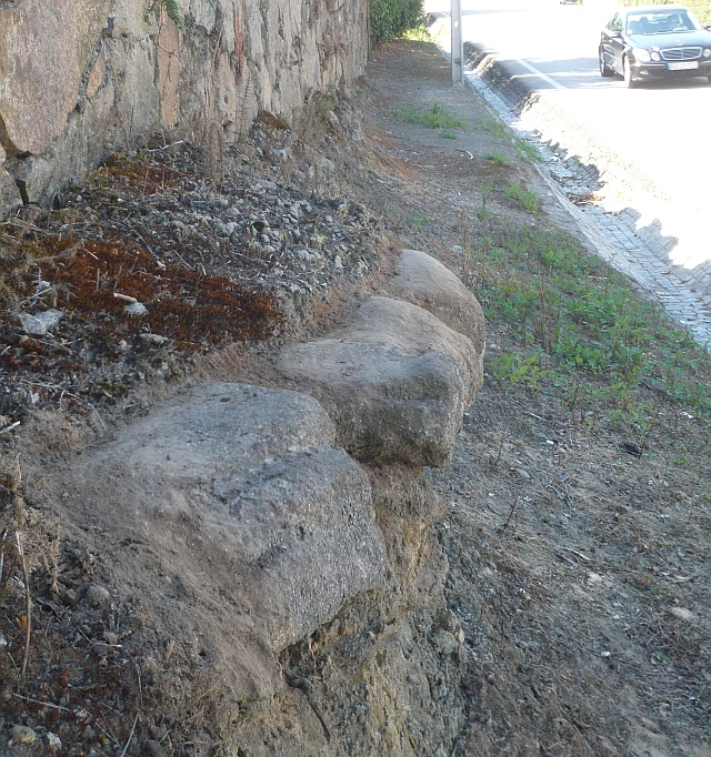
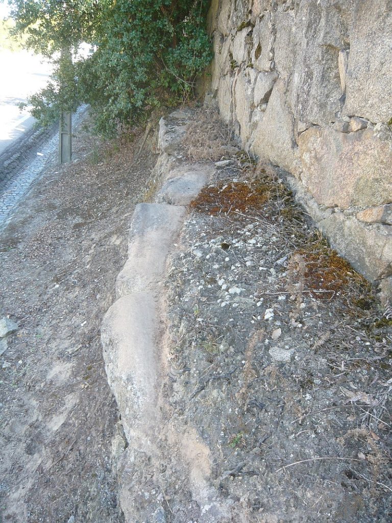
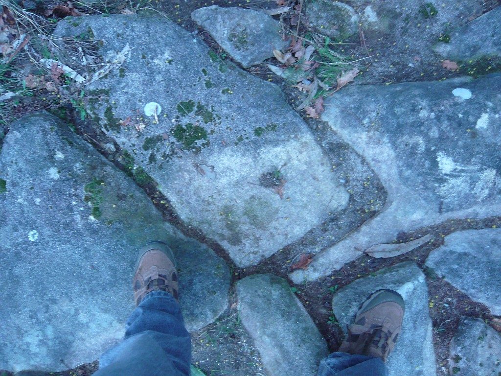
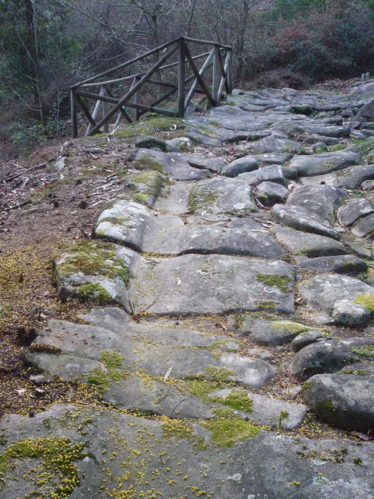
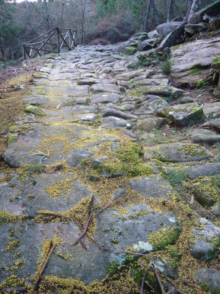
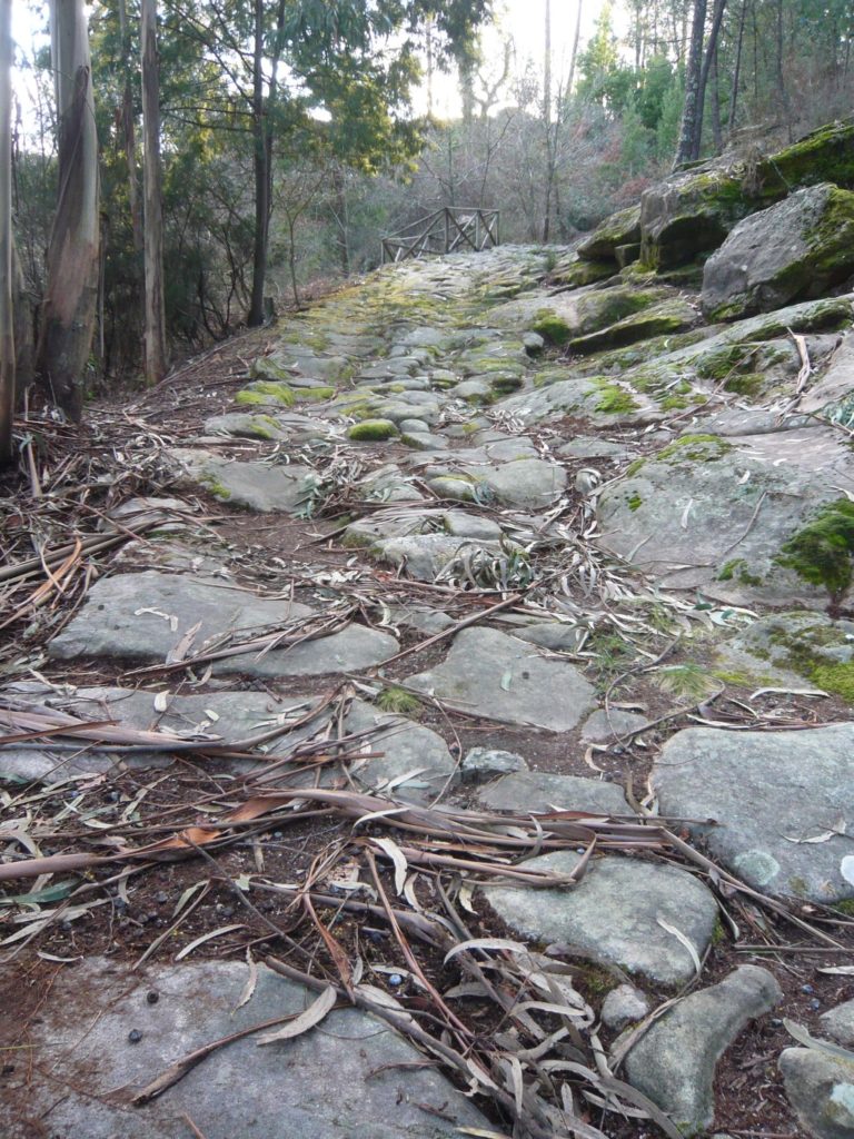
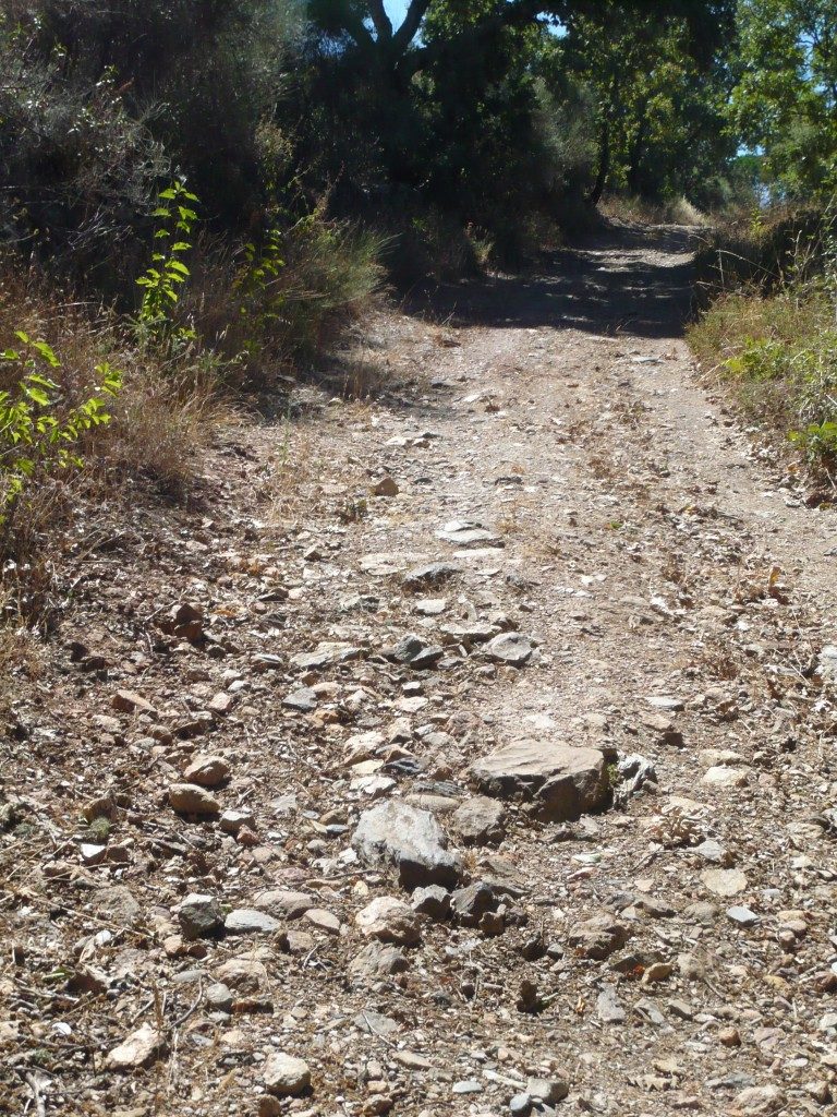
The foundation of Portugal as independent nation and the consequent border disputes with the Kingdom of Spain eventually dictated the slowing down of some of the great trade routes of antiquity, but apart from these forced changes, the Roman road network remained in use for centuries to come and contrary to what has been said it did not completely disappear from the landscape (following the old myth that all Roman roads were paved), but remains in use now as municipal roads or agricultural paths, despite the attacks it has suffered during the last century.
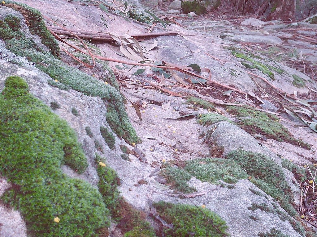
On the contrary, what we see on the ground is a great resilience of these millenary paths, whether they are transformed into modern roads or as almost imperceptible paths on the top of the mountains. Their natural, patrimonial and historical value will eventually come to the surface, which will induce a rehabilitation of these paths, creating an alternative future for these paths that can take them out of the current oblivion.