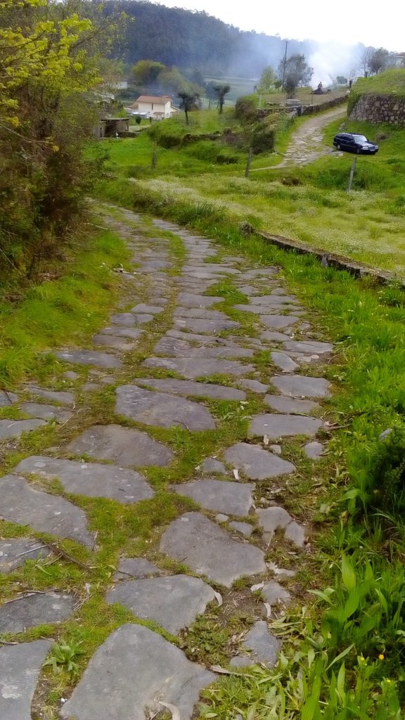
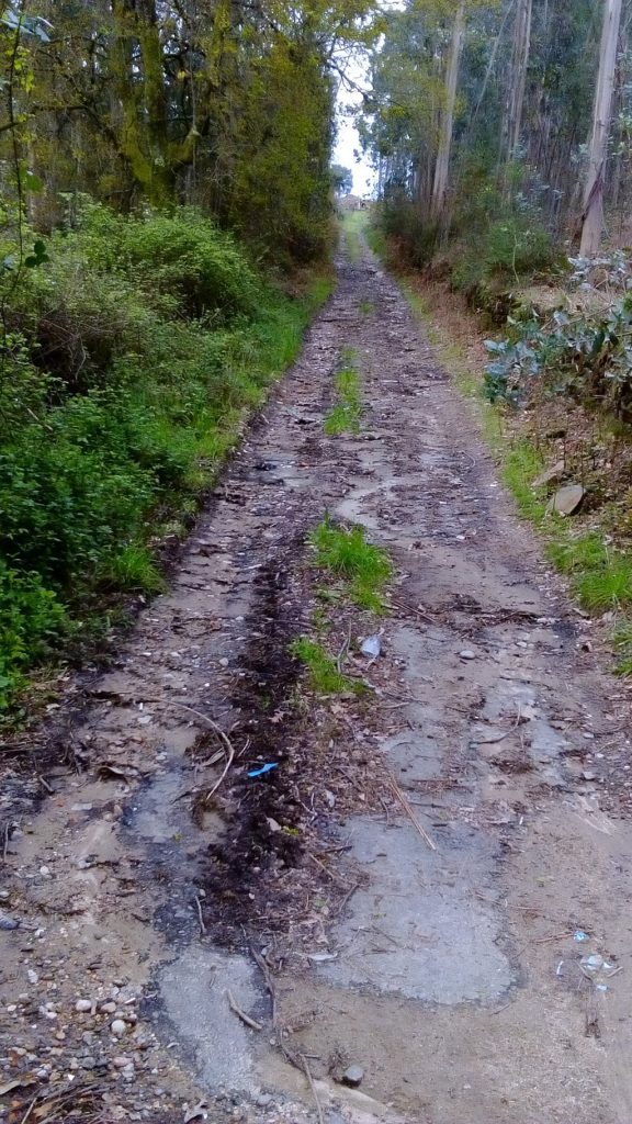
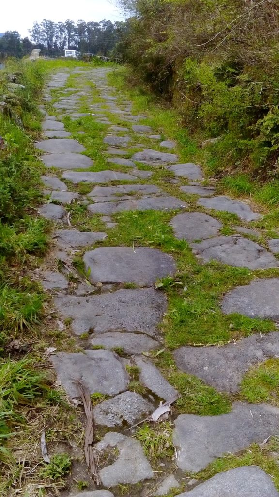
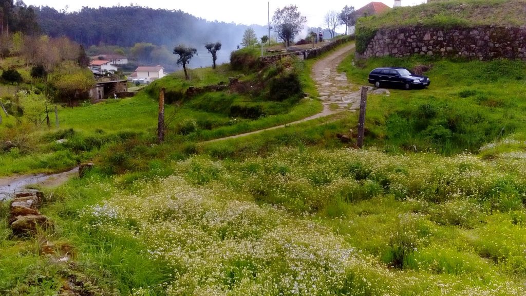
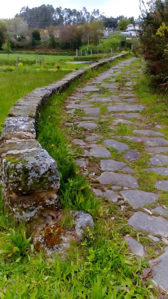
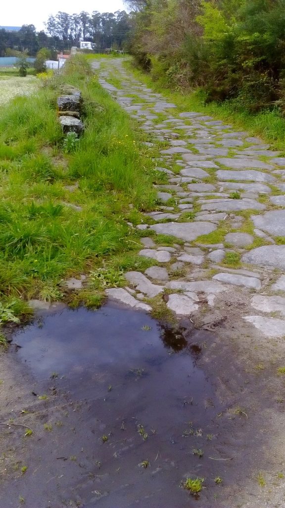
Pictures of the Roman road linking Cale (Porto) to Vissaium (Viseu) located in the village of Escariz (Arouca). This section still holds the pavement made of stone slabs maybe from the medieval period. To access the road walk from the cross in the centre of the village.
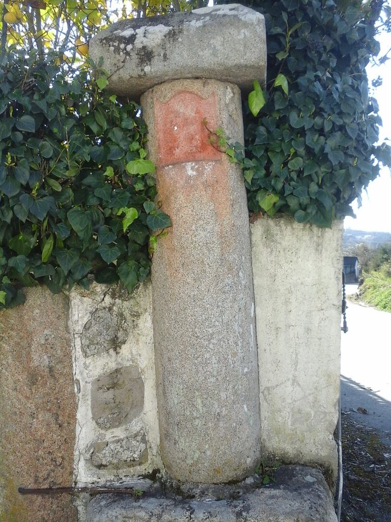
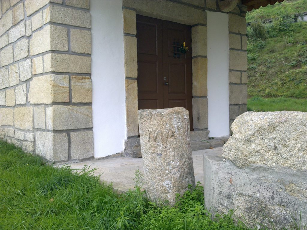
Milestone in the corner of a wall of Quinta de Santa Cruz in the outskirts Mangualde featuring a niche resulting from its reuse as Christian cross. Coordinates: 40.619176,-7.758665
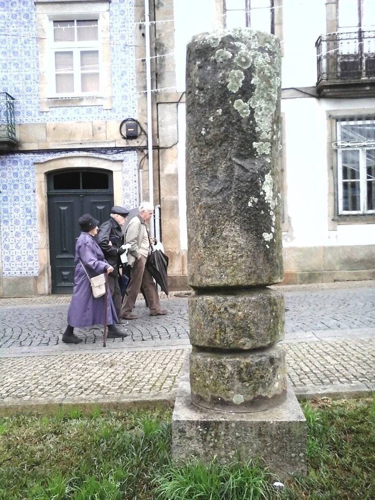
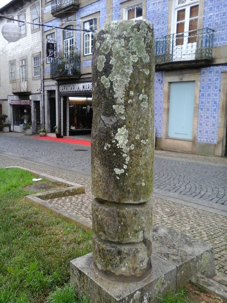
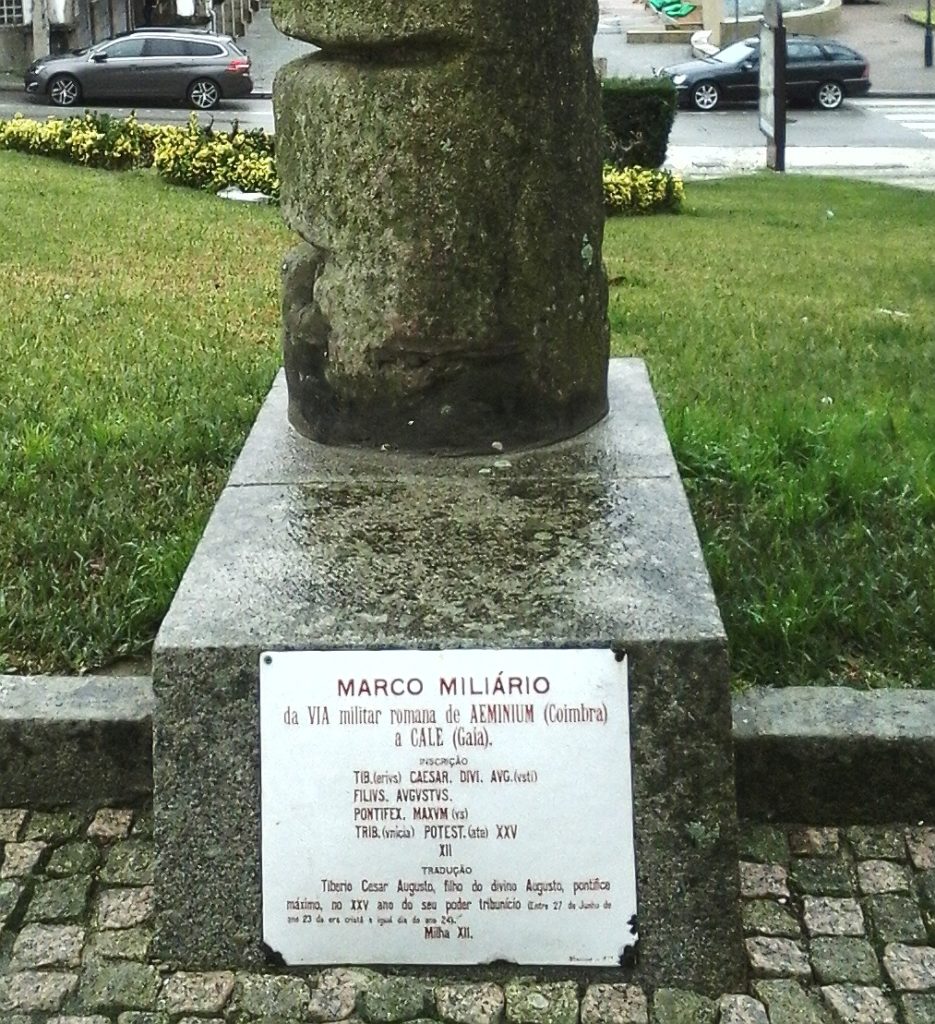
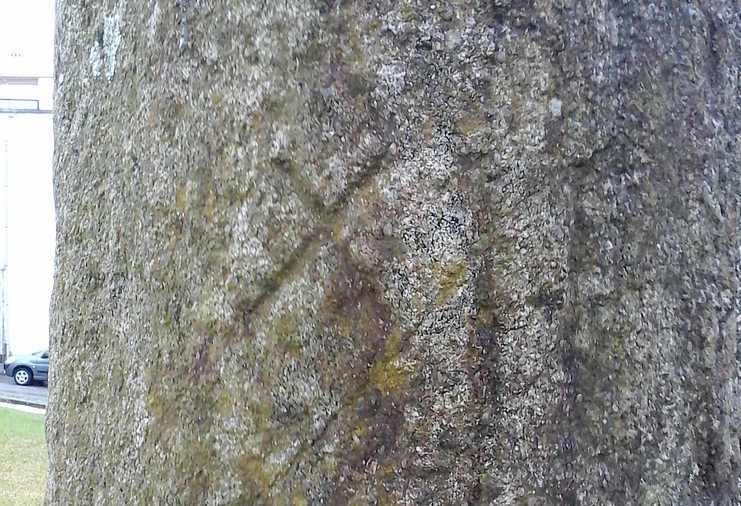
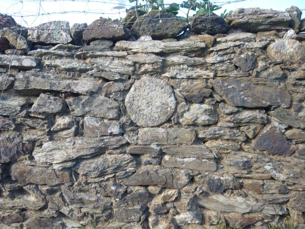
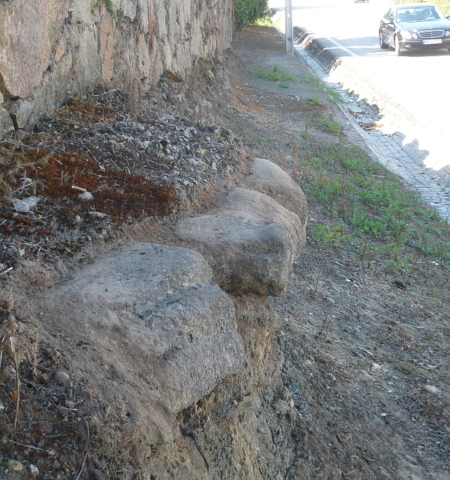
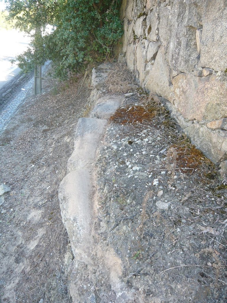
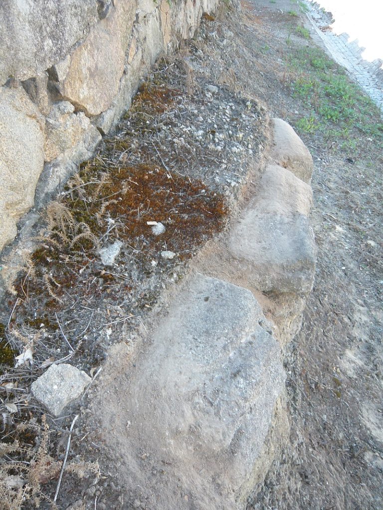
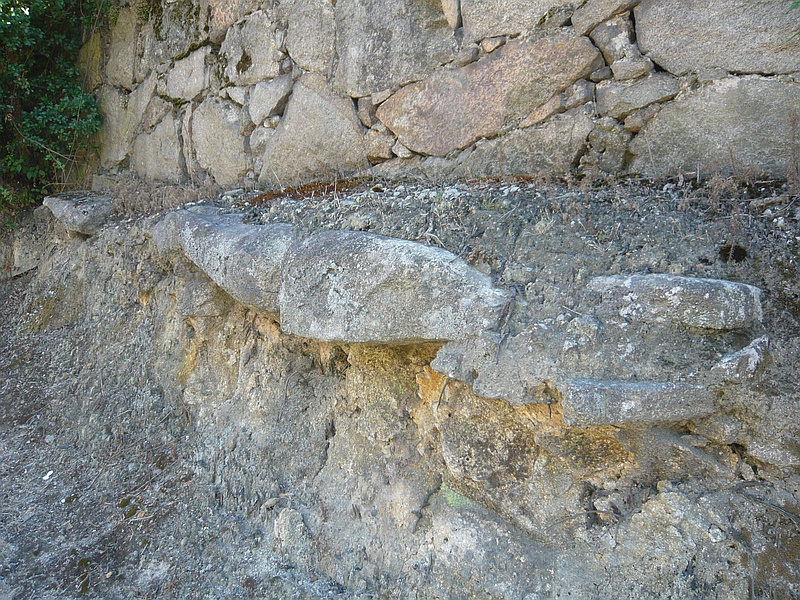
Milestone in a central square of Oliveira de Azeméis but found in a village nearby called Úl. It marks 12 miles presumably to Langobriga (Fiães, Santa Maria da Feira). This milestone probably marked also the boarder between the civitates of Langobriga and Talabriga (next to Vouga river). Coordinates: 40.840254, -8.477716
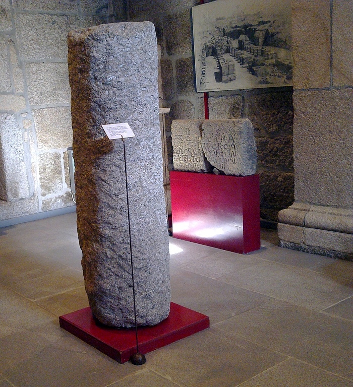
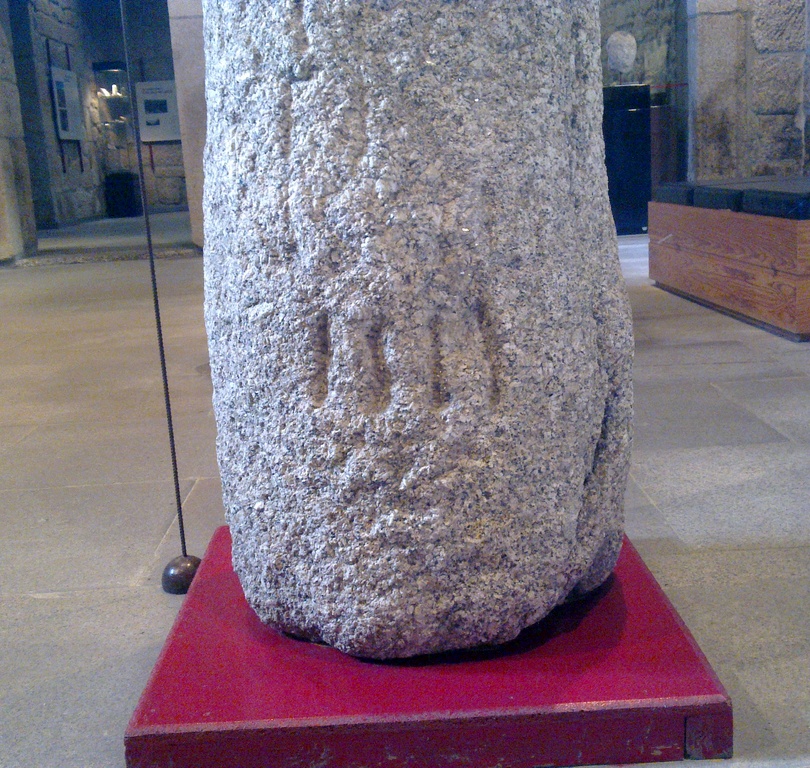
Two milestones found in a site called Barrelas close to Famalicão da Serra now on display in Guarda Museum. One is dedicated to Emperor Constantinus and the other to Emperor Tacitus still showing the 4 miles to Centum Cellae (Catraia da Torre, Belmonte)
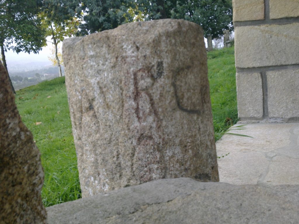
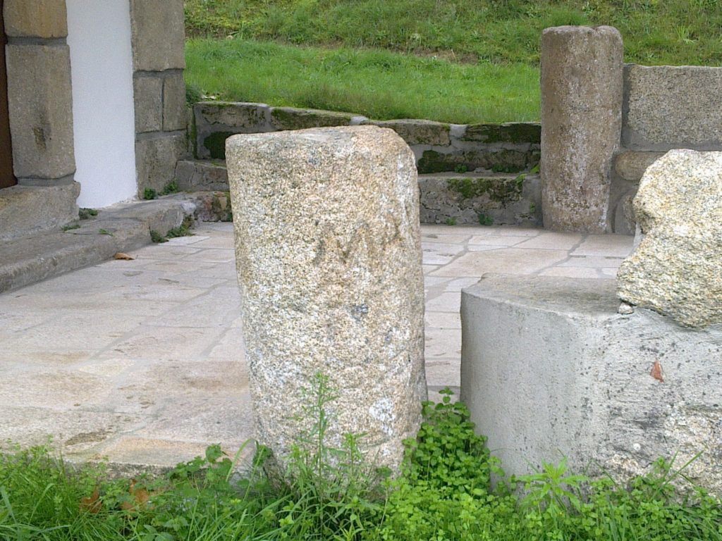
Two fragments of a milestone on yard of the Chapel of Santa Marta in Vila Frade (Chaves), close to the Spanish border. Fragment has no inscription and was probably the lower part of the milestone; Fragment 2 still has vestiges of an inscription dedicated to Marcus Aurelius Carinus that ruled the Empire from 283 to 285 AD. This Roman road coming from Aquae Flaviae (Chaves) continues through Lama de Arcos in the direction of Tameirón where another milestone was found. Coordinates: 41.807986, -7.410070
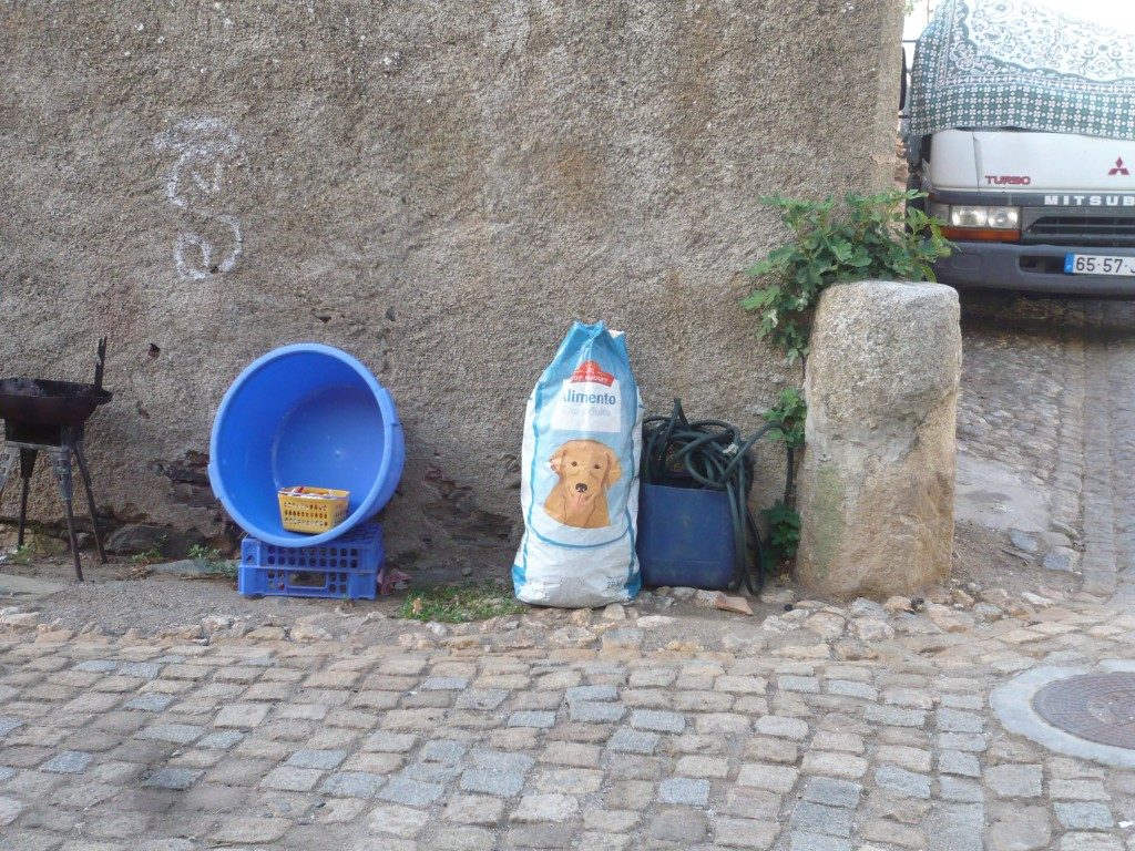
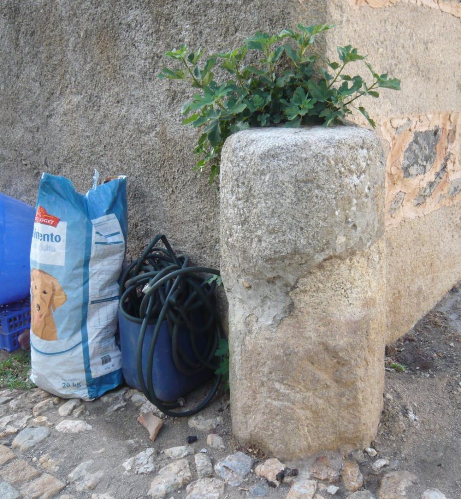
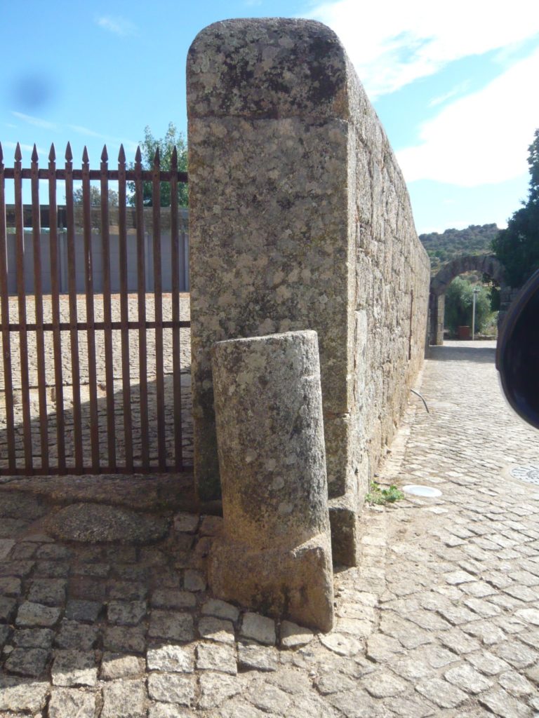
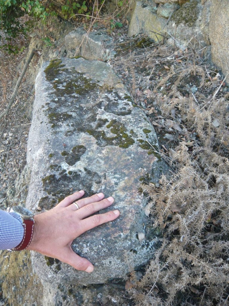
A milestone found in the village of Alcafozes (Idanha-a-Nova) (today at the «Epigraphical Museum» of Idanha-a-Velha) signals the Via Igaedis (Idanha-a-Velha) – Emerita (Mérida) that crossed the village in the direction of the Roman bridge of Segura. Besides this one, in the village there are two more cylinder-shaped stones that could be originally milestones. One was reused in a wall of the village with coordinates: 39.949778, -7.119426
Possible milestone in the village
The other one is placed in the corner of a street intersection next to the Parish Church without any tace of letters; coordinates: 39.949731,-7.119369
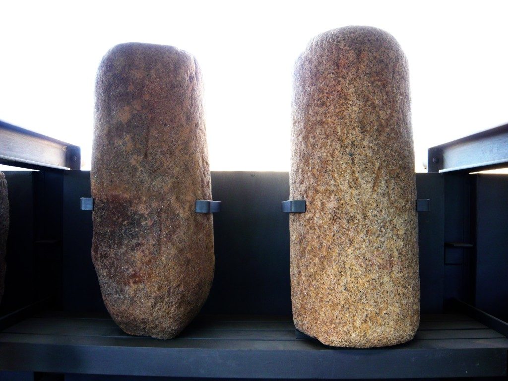
There are three milestone in the village of Idanha-a-Velha, ancient Igaedis or Igaeditana. Two at the Epigraphical Museum and both came from Alcafozes; the third milestone without inscription is placed next to the Visigothic Church at the southern gate of the ancient city.
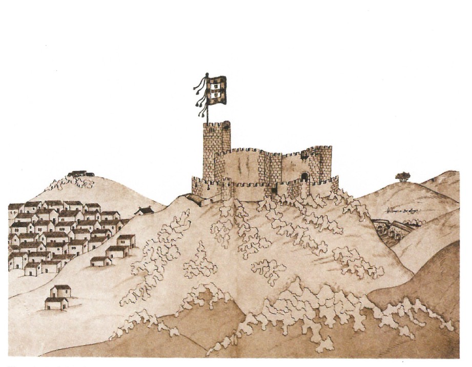
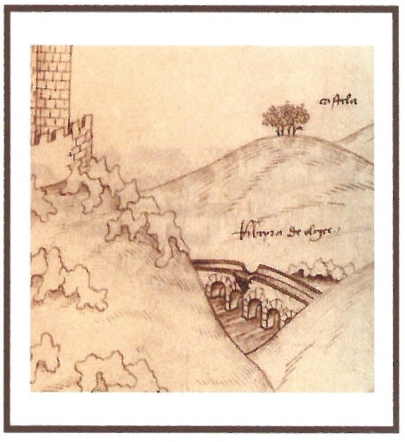
In 1509, King Manuel I commissioned his squire Duarte d’Armas to survey the state of 56 border fortifications in the kingdom, a work that was to be completed in 1510 and which resulted in a manuscript known as the “Book of Fortresses” (“Livro das Fortalezas”). This work shows illustrations of the main castles that defended the integrity of the national territory. In the illustration referring to the Castle of Segura, Duarte d’Armas represented the old Roman bridge over the Erges river in detail showing the semi-destroyed central arch, clearly showing that the bridge was unusable in the 16th century. This arch was later repaired and still today we can see a larger central arch much bigger that the rest. It is the oldest known representation of this important Roman work (so forgotten in current tourist itineraries) and therefore a document of the utmost importance. Coordinates: 39.817403, -6.981816
Images from the book “Castelos Templários Raianos: Castelos de Portugal”. Templar Days of Penha Garcia, August 2013. Authoring and Coordination: Colonel Dr. António Pires Nunes. Edition: Câmara Municipal de Idanha-a-Nova
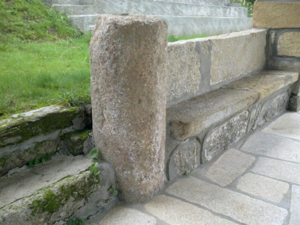
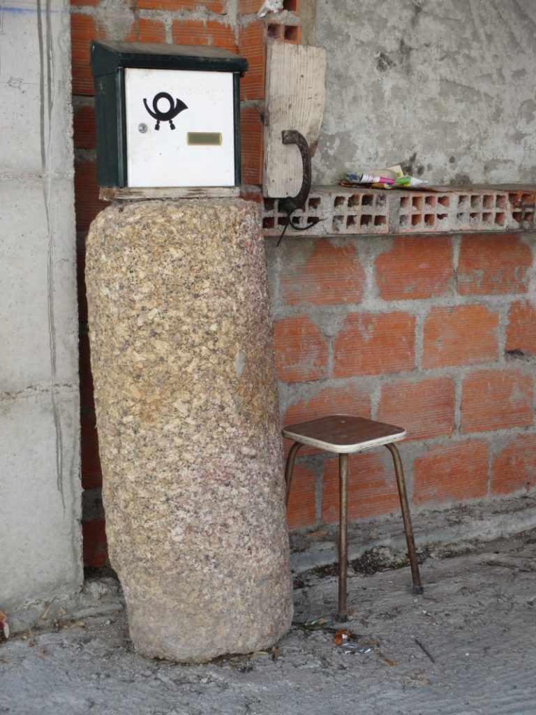
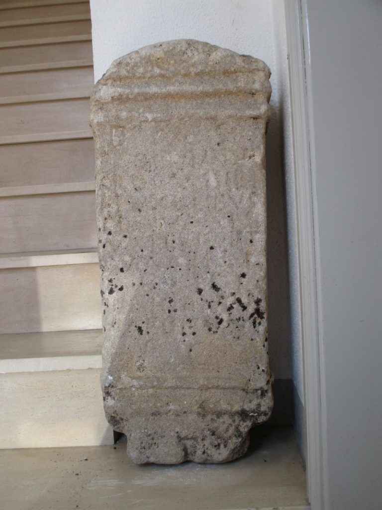
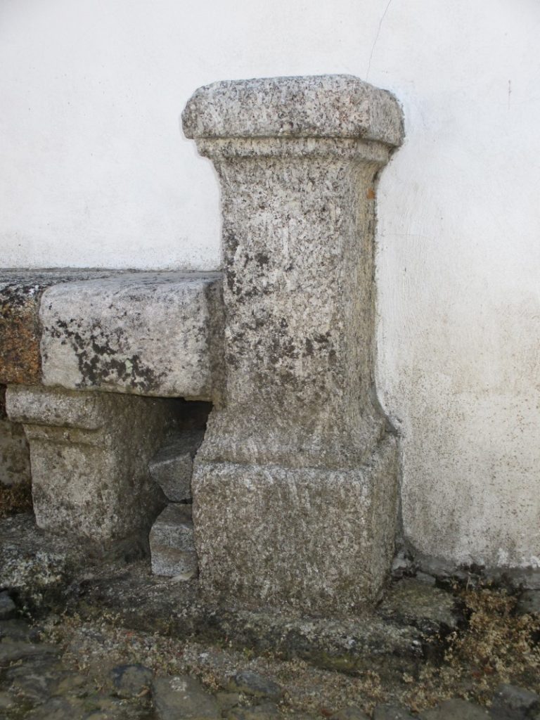
The village of Valhelhas (Guarda) was crossed by a Roman road coming from Viseu through the Serra da Estrela mountains towards Mérida; from this road there is still a milestone to Constantius Chlorus and Galerius Maximianus found in Galrado, a site located on the left bank of the river Zêzere; this landmark passed through the parish church and today is at the entrance of the Parish Council (‘Junta de Freguesia’), along with the funerary stele of Proculinus dedicated to the Gods Manes, found in a private house; In the village there are other Roman remains, namely another ara without inscription outside the church and possibly another milestone in a private house, serving as a mailbox support (!). Several other columns scattered throughout the village may be milestones reused but there’s no way to be sure. Coordinates: 40.406976, -7.402010
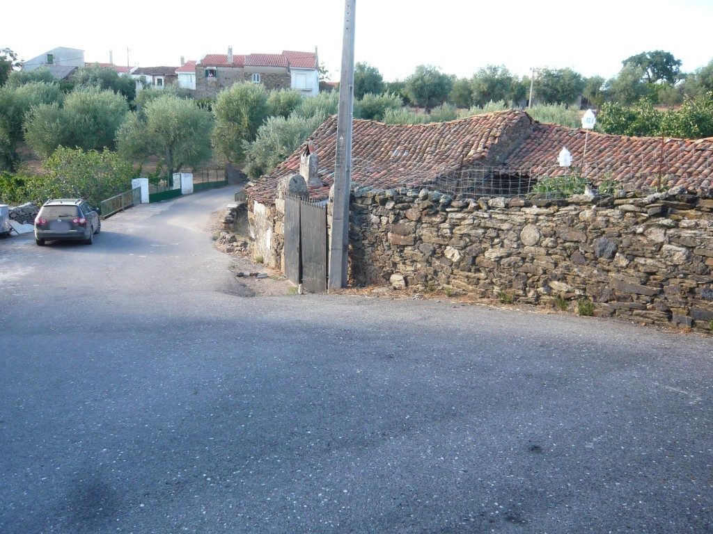
The Roman road XVI between Bracara Augusta and Olisipo crossed the current municipality of Vila Nova de Gaia passing by Santo Ovídio and Canelas; the only testimony we have of this road is a small section of the pavement discovered in the 1930s on «Senhora do Monte» Street during the works for enlargement of the national road EN1; there’s a picture published by Armando de Mattos in 1937 in his little book “As Estradas Romanas no Concelho de Gaia”. Since then, the road has been mutilated by repeated repairs to the national road and the construction of an urbanization that has destroyed a few hundred meters of the old road. What is left now are a few surviving slabs of the original pavement still in place on the side of the modern road. The deep furrows as a result of the wear and tear caused by cartwheels over the centuries, a sign of its antiquity. Coordinates: 41.088836, -8.591531 View location in Street View